Everything about the lake, at your fingertips.
Maps, lanes, hotspots, structure, fishing heatmaps that change every month, lake level and weather, tournaments and local tips. One subscription for the lakes you fish, always the latest version.
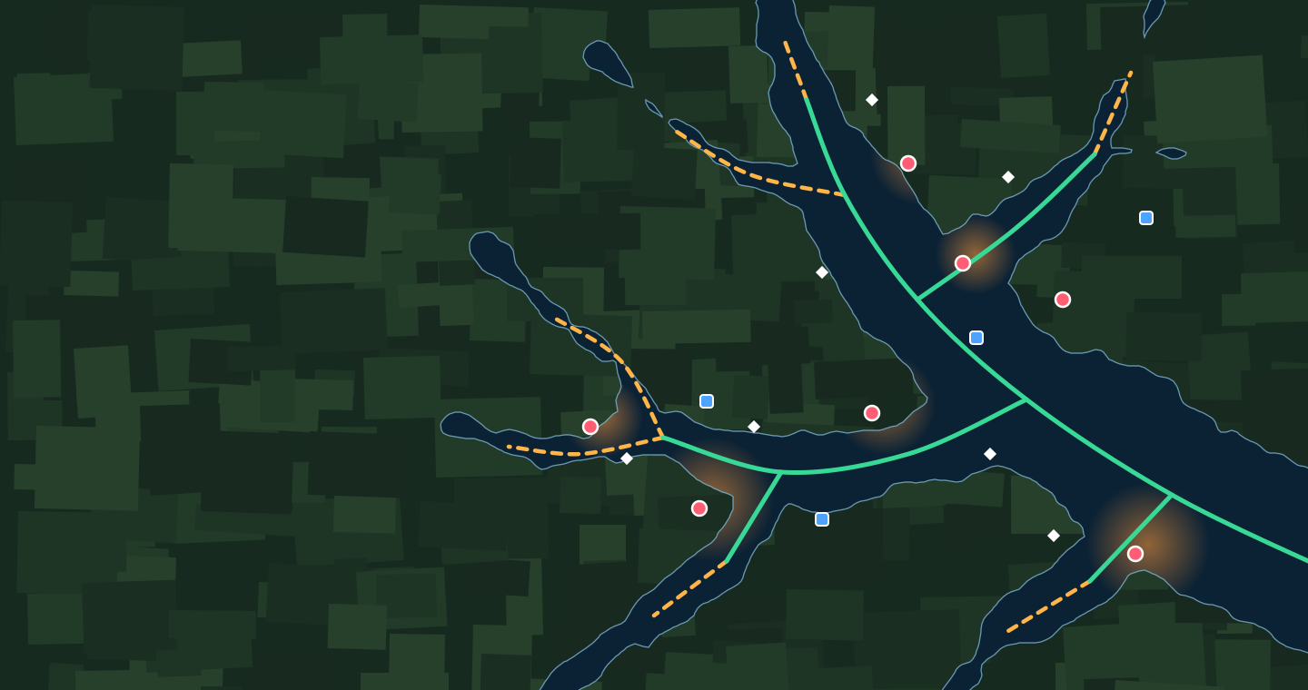
Four maps, nine overlays
Street
Satellite
Pre-flood topo
Coming soon The fourth map: a 3D underwater view of each cove, opened from its icon on the map.
On any map, turn on or off: running lanes, idling lanes, fishing hotspots, the monthly fishing heatmaps, areas of interest with the old roadbeds, boat ramps, the lake boundary, cove and creek names, and the 3D cove icons (coming soon).
More than a map
- Lake level today vs. pool, from the USGS gage
- The 7-day forecast from the National Weather Service
- Upcoming tournaments from organizers’ public schedules
- The baits and techniques for the time of year, beside the monthly heatmaps
- Tips written for each lake
- Nearby places: marinas and restaurants
Take your lakes to the console
Members export the running and idling lanes, the year-round hotspots, the areas of interest and the boat ramps for the lakes their plan covers, with their own spots, as one file for their unit’s SD card. Pick the layers and your unit’s format. Export starts once your first monthly bill has gone through, not during the free trial. The formats are documented by each maker, not yet tested on a unit.