For your unit · one-time
Lanes on the console, no phone needed.
A one-time download per lake for the fish finder on your boat. Copy the file to an SD card, load it once, and the lanes live on the unit.
$20 per lake · the same price for everyone · all device formats included
HDG 274°18.4 ft41 mph
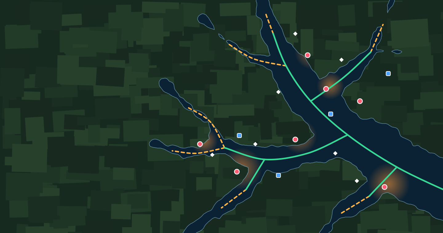
Illustration of a made-up lake
Running lane Idling lane Hotspot Pre-flood structure
How it works
1
Pick lake + unit
We show the file and the loading guide for your model, written from the maker’s manual.
2
Download the ZIP
GPX master plus the file types Garmin, Lowrance/Simrad, Humminbird (HELIX too) and Raymarine document, and KML. Not yet tested on a unit.
3
Copy to an SD card
32 GB or smaller, the card your unit takes.
4
Load it once
Back up your unit’s own waypoints first, then load ours with the guide. We email the next day to ask if it loaded.
What you’re buying
A snapshot, with a date on it
The file is the latest edition of the lake on the day you buy it: running and idling lanes, areas of interest, the year-round hotspots and the boat ramps, with the version and imagery dates stamped inside. You can download it for 30 days after you buy; after that it can’t be downloaded again. A newer edition is a new purchase, or comes free in the app.
Want it to stay up to date?
That’s what the app is for
The app updates itself as new imagery lands. Members export the same lanes, hotspots, areas of interest and ramps to their unit from the app, for the lakes their plan covers, once their first monthly bill has gone through.
Request a lake